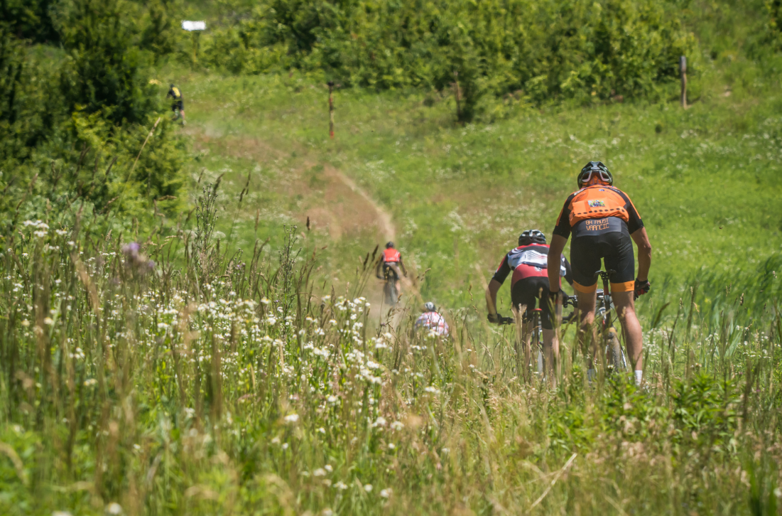
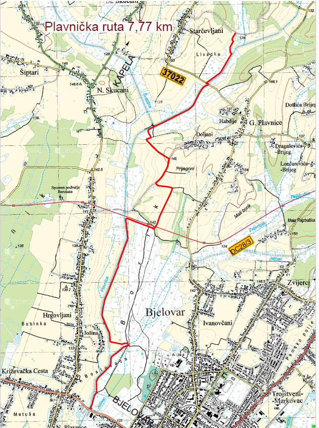
It is located in the area of the city of Bjelovar and the municipality of Kapela, and follows the course of the Plavnica stream along its embankment. The route connects the city of Bjelovar and the sports and recreational pond in Starčevljani, where there is also a cycling rest area, and is connected to the Kapela Route.
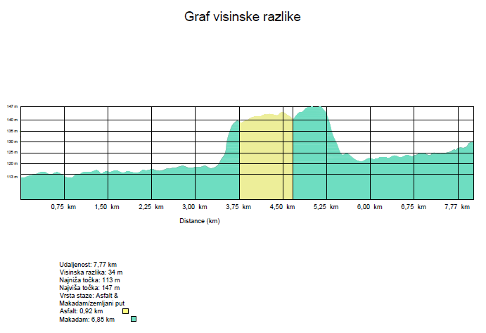
It is 7.77 km long, of which 0.92 km is asphalt and 6.85 km is macadam.
The lowest point is at 113m, and the highest at 147m above sea level, which means that the height difference is 34m.